
ILI Inspections
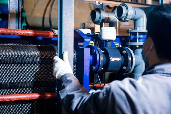
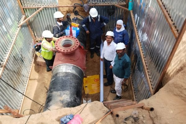

Pigging Operations
Cleaning and gauging pig runs — launching, tracking and receiving with full run control and debris assessment.

ILI Tool Runs
Support and execution of intelligent pig campaigns, from line preparation to tool launch and receipt.

DGPS Mapping
Differential GPS survey of pipeline routes — accurate centreline coordinates for alignment sheets and GIS.

MMI Inspection
MMI survey runs identifying metal loss and geometry features on the pipeline.

Line Preparation
Cleaning trains, gauge runs and piggability verification before any inspection tool enters the line.

Reporting & Dig Support
Anomaly reporting, dig-sheet preparation and verification-dig support for repair planning.

Piggability Study
Line data, bends, valves and launcher/receiver readiness reviewed before the campaign.

Cleaning & Gauging
Progressive cleaning pig trains and gauge runs to prove the line safe for inspection tools.

Inspection Runs
DGPS / MMI / ILI tool runs with tracking, benchmark points and run verification.

Reporting
Verified anomaly lists, location data and dig sheets delivered to the operator.

HSE & quality, built in.
Every job runs under our HSE policy — hazard identification, EHS-trained crews, permits and stage-wise quality checks with full documentation.